
Scarborough Junction (Strangford & Mortlake)
Strangford Post Office opened in 1863 at Moffat’s Corners, now the intersection of Victoria Park and St. Clair.
The name was likely given by the local Irish settlers, the name taken from a small town south of Belfast, Ireland in Northern Ireland. The Post Office closed ten years later when Scarborough Junction was established. Both the post office and the community name have long since been forgotten.
Mortlake P.O. opened in 1865 in the Halfway House Hotel at what is now Midland Avenue and Kingston Road. Named after the English hamlet outside London, the post office closed in 1872 when Scarborough Junction was established. Although the community now carries the name Cliffside, the Halfway House was not forgotten. Having served Scarborough for more than a century, the hotel was dismantled in 1962, moved and rebuilt as the focal point of Black Creek Pioneer Village. Today, a walk through the doors of the hotel is like a step back into Scarborough’s 19th century.
Business in the Scarborough Junction area began with the establishment of hotels along Scarborough Junction’s main roads: the “Farmer’s Inn” on Kennedy Road at Danforth Road, and the “Halfway House Hotel” on the north west corner of Midland Avenue and Kingston Road. After the two railways were built (1856, 1873), Scarborough Junction began to focus more of its business on the railway.
The community officially became Scarborough Junction after a second railway was built through the community in 1873. That same year the Scarborough Junction P.O. was opened in Bell’s store on the south-west corner of Kennedy Road and St. Clair Avenue. The store was later acquired by the Everest family who took advantage of the proximity of the railways, to develop one of the largest general merchant businesses in the Township.
Everest’s Store & P.O.
School Section #10 was established in 1847 and in 1850 a frame school was built for the children of the community to attend, later to be replaced by a brick building in 1870. In 1900 a two-room, two-storey school was built on Kennedy Road, just south of Danforth Road because the community was growing rapidly. When two more rooms were added in 1906 the Junction School became the largest public school in the Township at that time.
Scarborough Junction was also one of the first areas in Scarborough to develop residential communities, with the construction of houses on “side streets” as early as 1900. After the Second World War the residential communities grew even more rapidly, as hundreds of Veteran’s homes were erected, and new industries were set up in and around the community. Scarborough Junction was ideal for development, one reason being that travelling in and out, and around the village was quite easy due to its two railways, and its major arterial roads (Kennedy Road, Danforth Road, and Kingston Road to the south).
One of Scarborough Junction’s early churches was Bethel Methodist Church on the south east corner of Kennedy Road .and Eglinton. Avenue. The only evidence of it that remains is its cemetery. This cemetery was recently taken over by the Scarborough Historical Society as another of their special projects as they strive “to preserve, study and stimulate an interest in the history of Scarborough.”
The small hamlet of Moffat’s Corners became closely united with Scarborough Junction after 1873. Located in western Scarborough at St. Clair and Victoria Park Avenues, Moffat’s Corners nearest school was the one in Scarborough Junction, in School Section #10. Although the Strangford P.O. operated here for ten years, during the 19th century, the community’s only real business was Alex. Moffat’s “Royal Oak” Tavern.
Oak Ridge / Crossroads of the Danforth
Oak Ridge is an early 20th Century community that evolved within the original Scarborough Junction post office delivery area. Centred near the intersection of Danforth Ave. and Pharmacy Ave. in Scarborough, Ontario, Canada.
The Oak Ridge community was established in the late 1920s by local ratepayers seeking an identity for their organization.
The name “Oak Ridge” has all but disappeared from common use in the area today as both the Ratepayer association and Oakridge public school were removed decades ago.
Furthering the disuse of the name Oak Ridge, the local BIA (business improvement area) has been promoting the area not under the traditional Oakridge namesake, but under a new title “The Crossroads of the Danforth” since 2008.
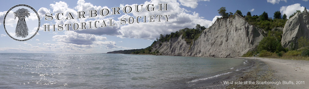
Cliffside is an early 20th Century community that evolved within the original Scarborough Junction post office delivery area. Its boundaries are Kennedy Road to the west (where Kingston and Danforth Road merge), St. Clair Avenue East to the north, Brimley Road to the east, and the Bluffs on the lakeshore to the south.
It is widely believed that the Cliffside neighbourhood gained it’s namesake in the 20th century from the Cliffside Golf Course that covered much of the now-residential area south of Kingston Road in the boundaries mentioned above.
Cliffside was named for the Scarborough Bluffs, which bordered the south side of the residential area that was the Cliffside Golf Course.
_____________________________________
Scarborough Junction – Historical Image Gallery:


")


